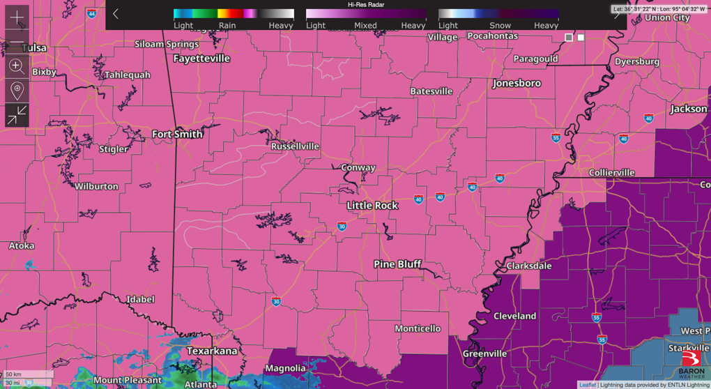
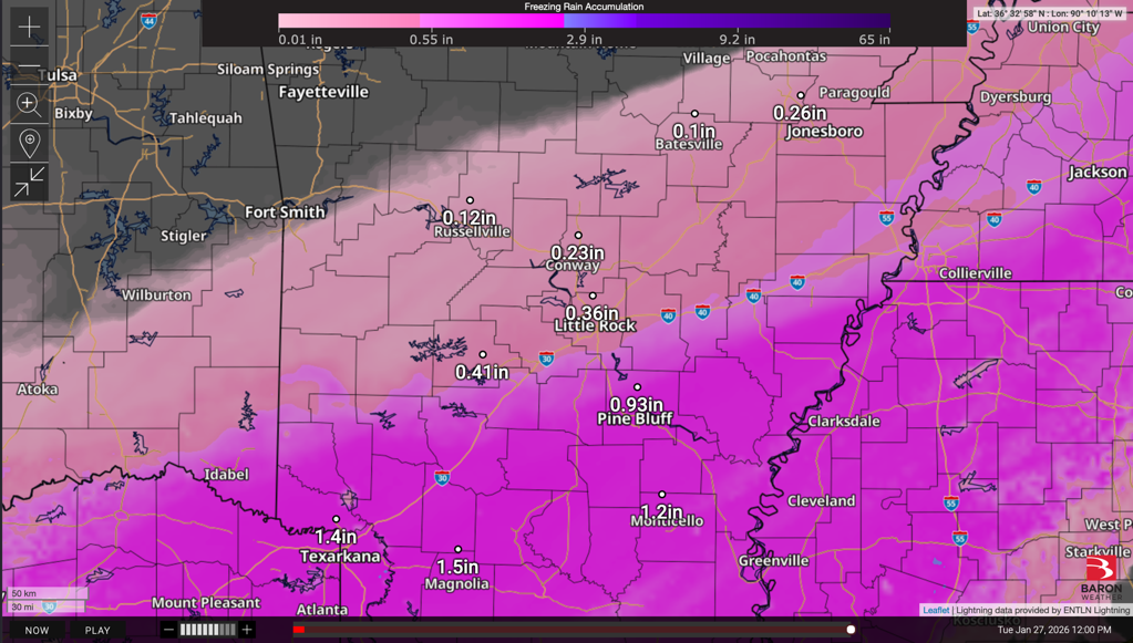
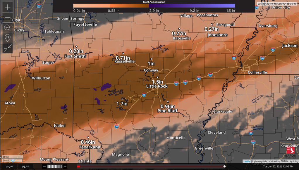
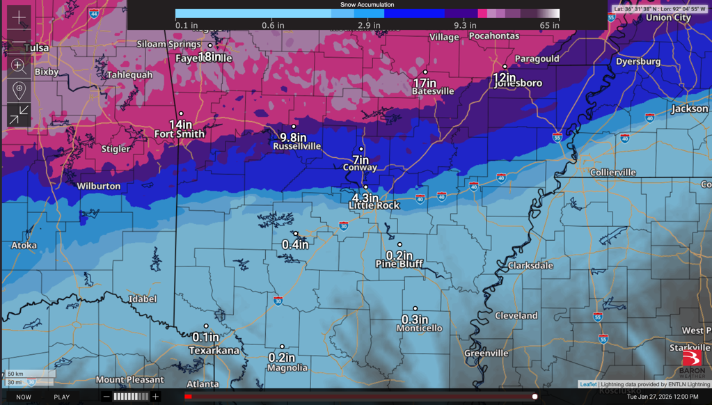
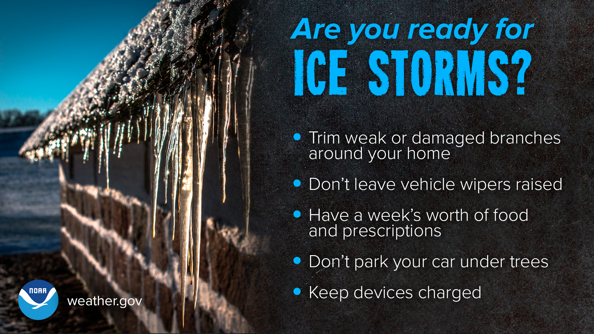
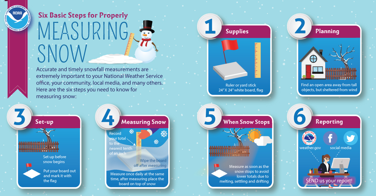
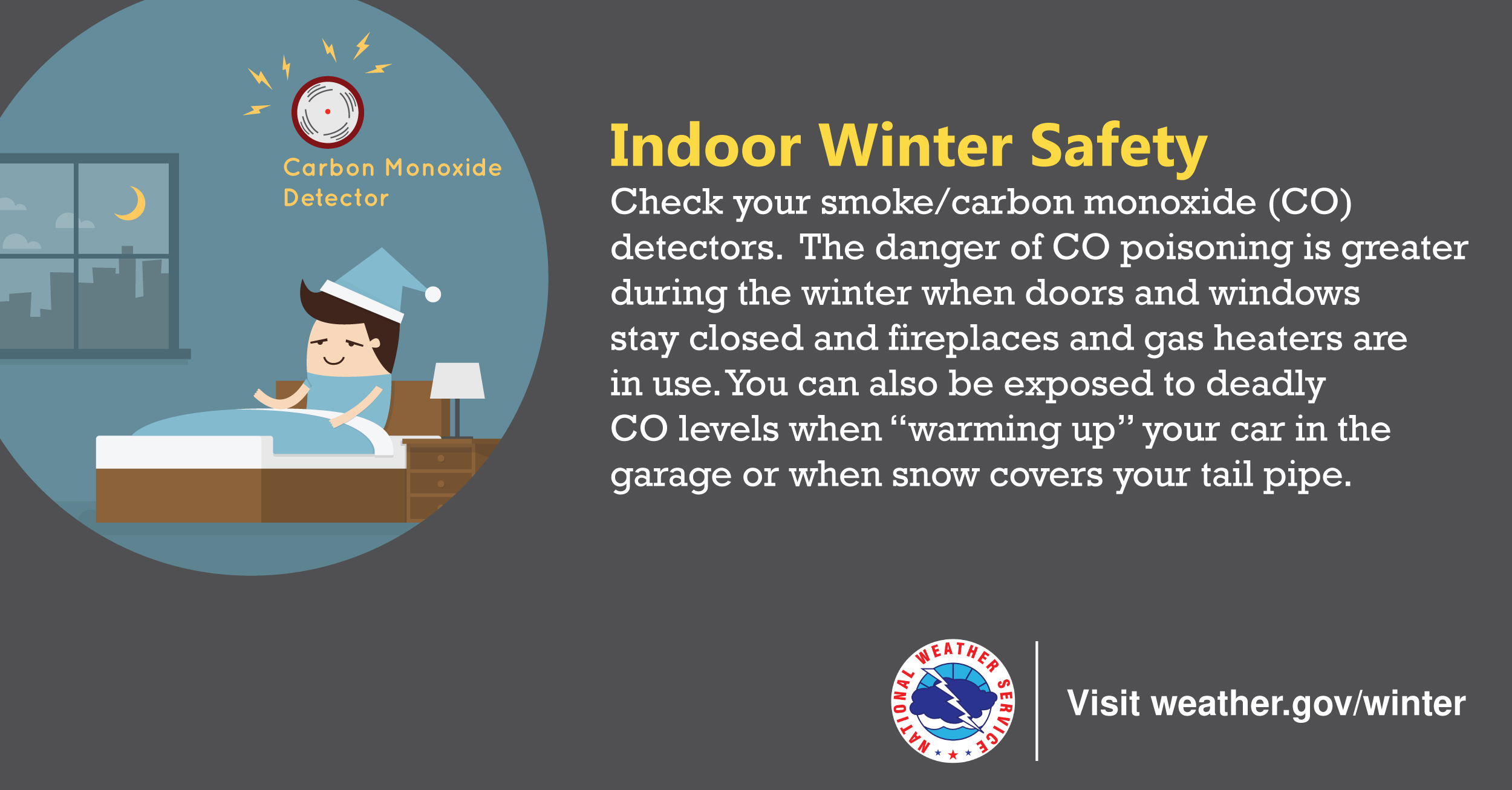
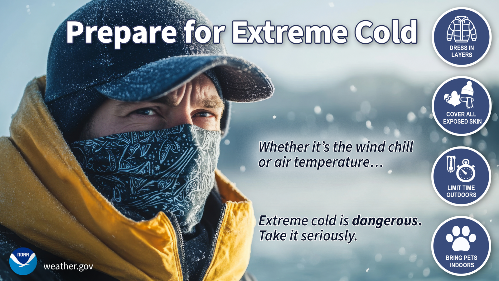
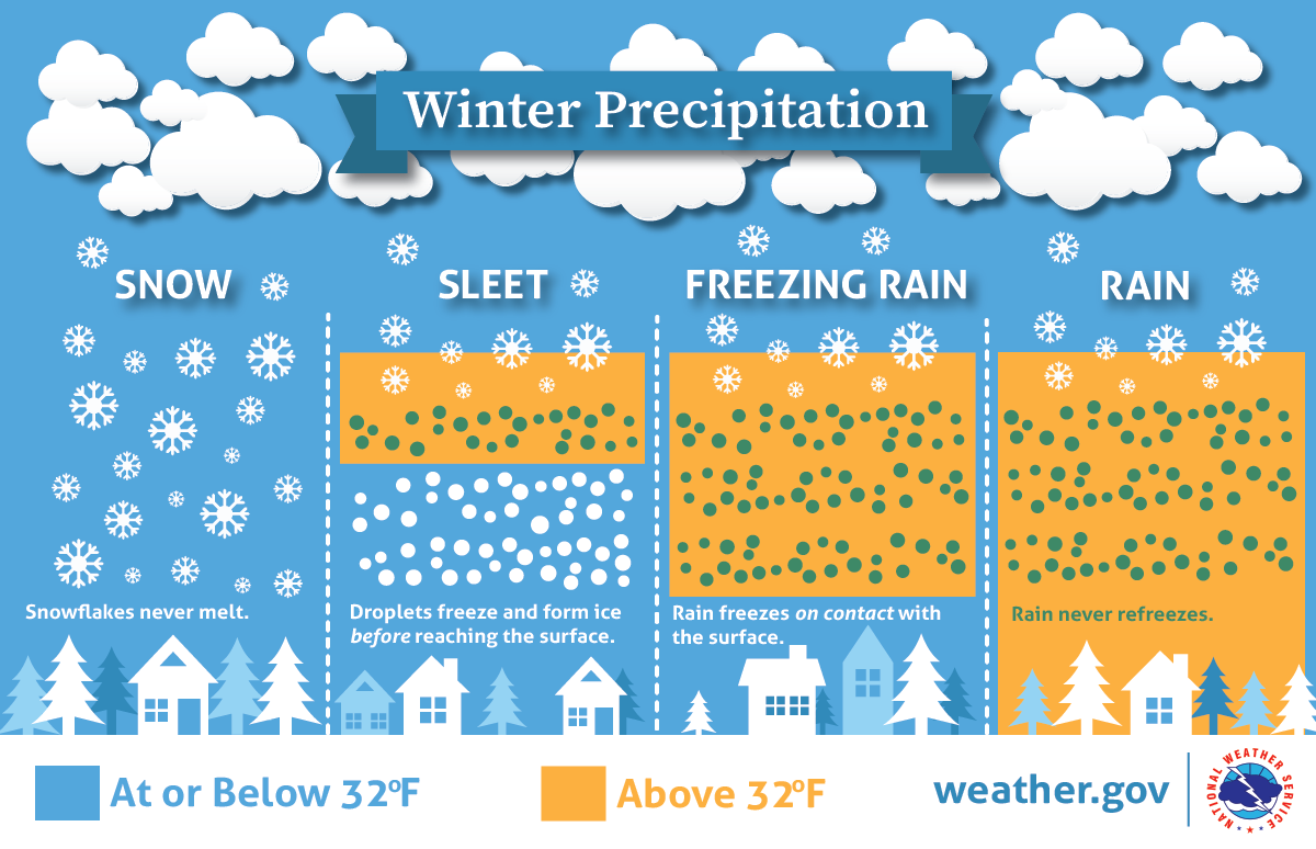
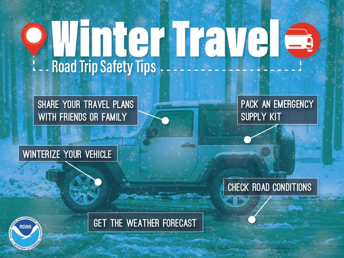
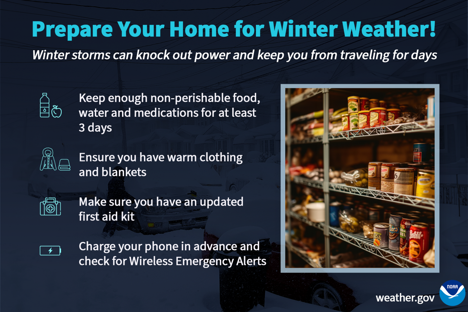
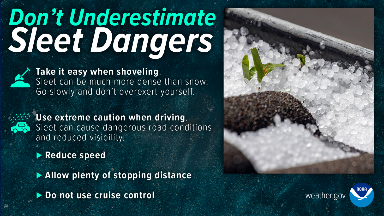
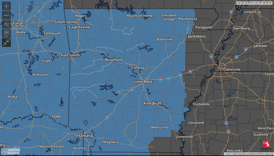
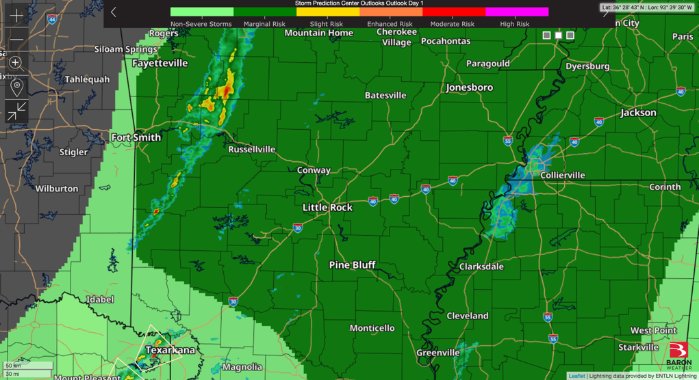
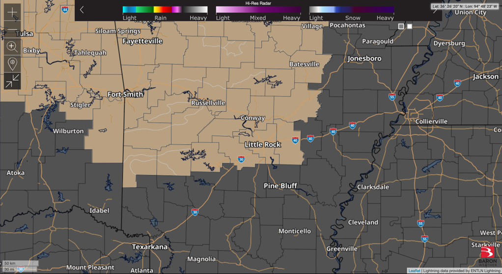
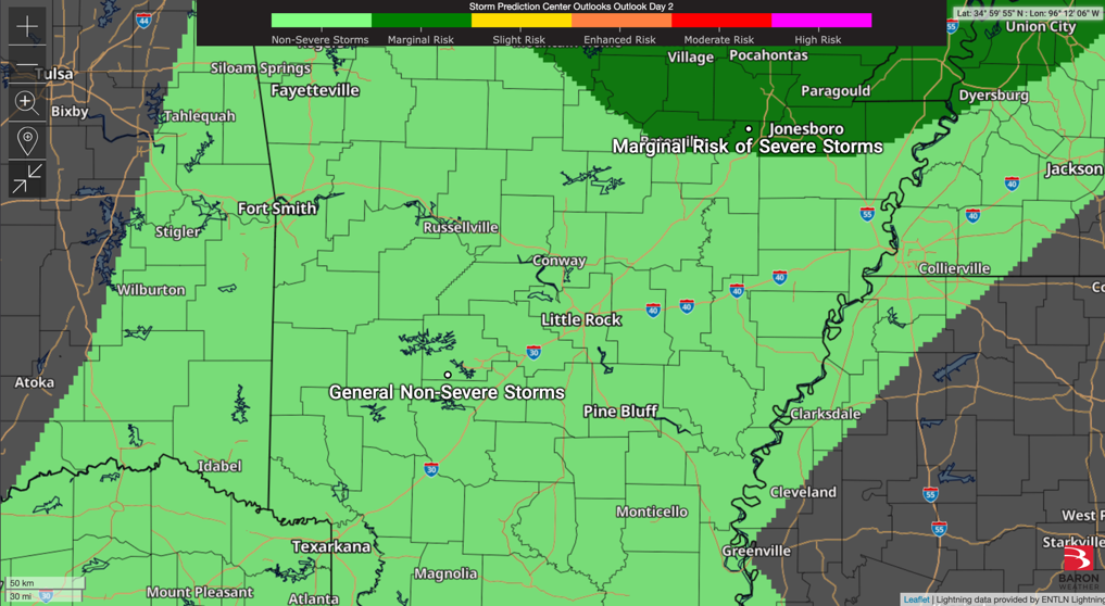
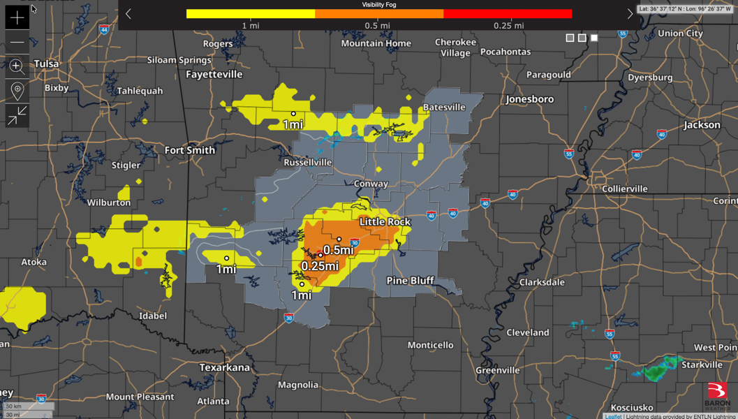
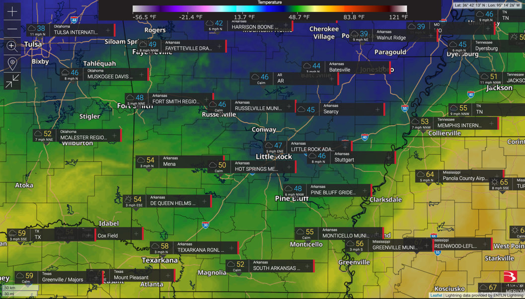
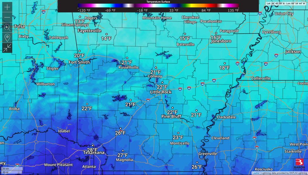
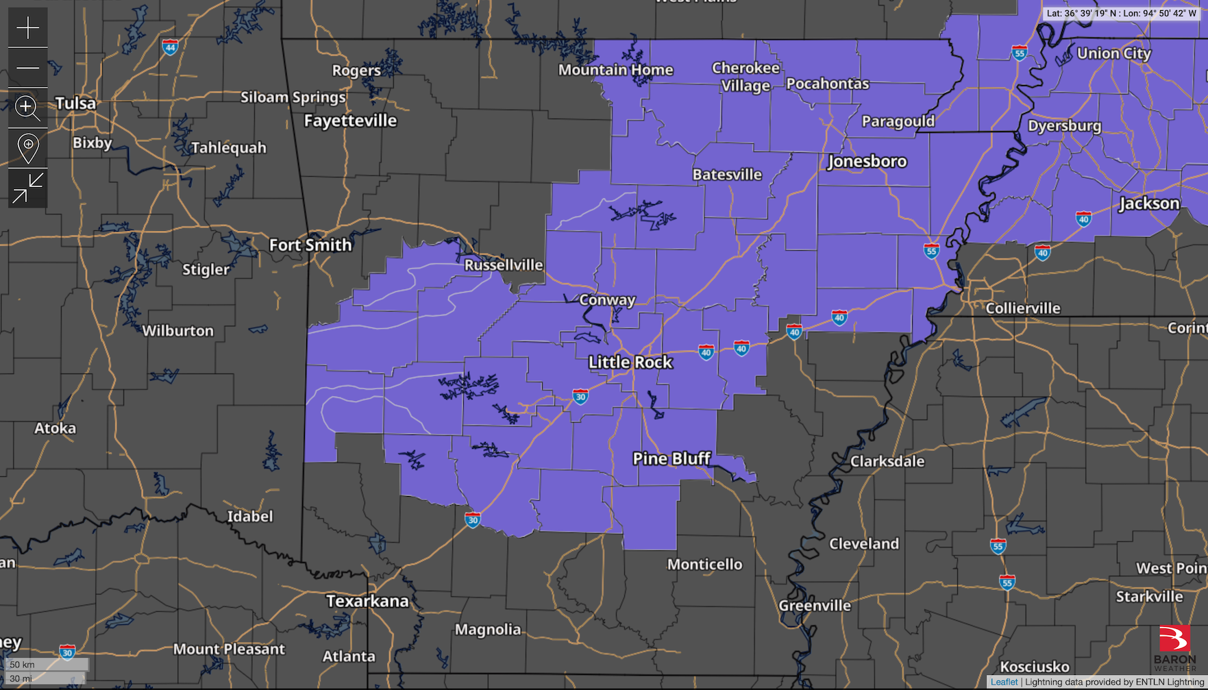
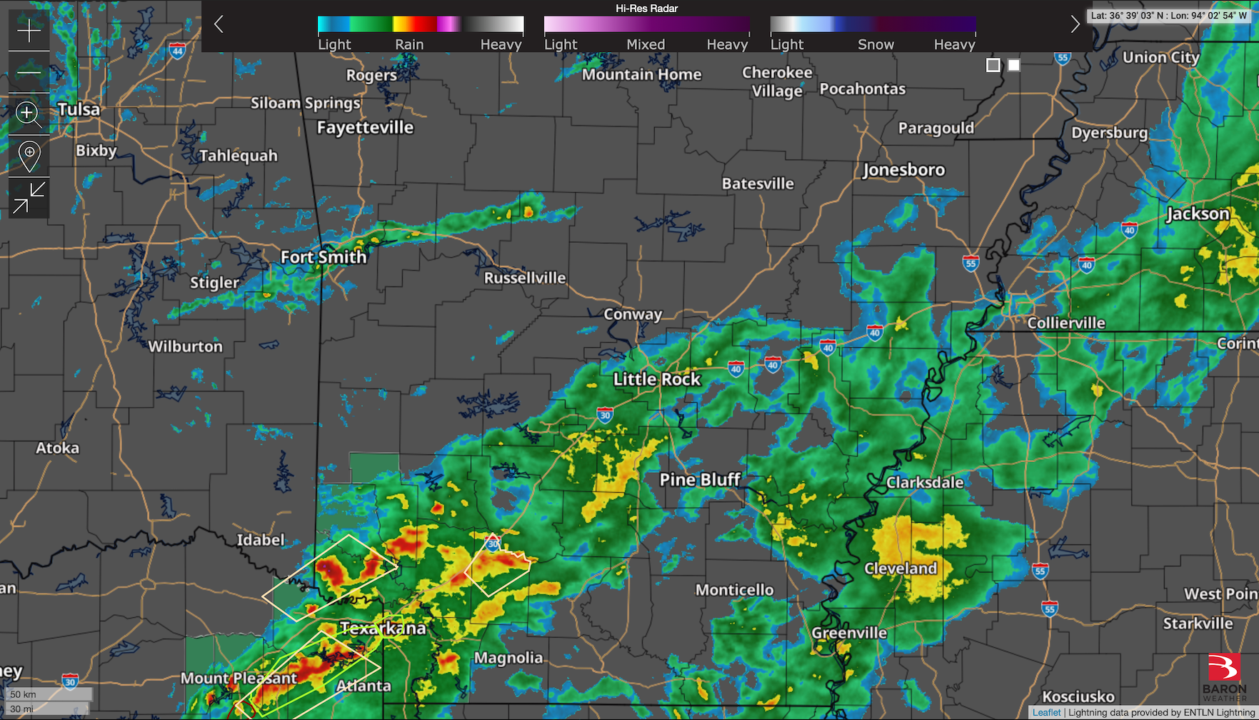
Here’s today’s Severe Risk Maps.
from Nathan Parker; Hot Springs, Arkansas
Here’s today’s Severe Risk Maps.
There’s an enhanced risk for severe weather Sunday, with most of it likely taking place during the evening.
Here are also some Flood Safety Awareness graphics from the NWS.
Here’s a look at the wind gusts from NWS and Earth Networks weather stations. My high wind gust was 35 on my Earth Networks weather station.
North Arkansas is showing Light Snow on radar. Anyone seeing any?
Here’s a look at the wind gusts from both NWS and Earth Networks weather stations across Arkansas.
The winds are still intense, and much of Arkansas is under a Fire Weather Warning (other parts of the state are still under a Wind Advisory).
Here are some radar images from the March 14, 2025 Severe Weather Event. The first is radar, second is Damaging Wind Path, third is Hail Path, and final is Rain Accumulations.
Here are two great Severe Weather Awareness graphics from the NWS I wanted to share with my readers!
Two storms near Hot Springs, but so far the Lake Hamilton area has been right in between them. Here’s a look at the current high-res radar and Severe Threats map.
Going to be a windy afternoon today! There’s a wind advisory in affect, plus here’s a look at FutureCast Wind Gusts.
A thunderstorm with some potential hail is in the way to Hot Springs. I’m continuing to monitor it.